
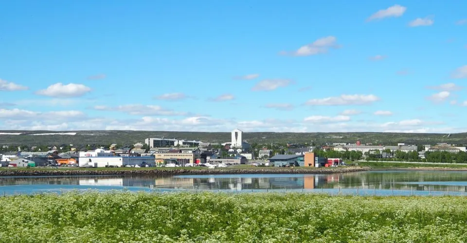
31 stops spread across the whole town — from Prestelva in the west to Melkevarden at the far eastern end. Walking them all in one go takes 6–9 hours, so the trail is split into five shorter loops you can choose between, depending on how you feel on the day.
1 · Indrebyen
Indrebyen lies in the west of Vadsø, with Havnegata, Nyborgveien and the old quays. The area was spared total destruction in 1944, so around 700 houses from before the war are still standing here — most of them characteristic Varanger houses.
10 stops · approx. 3 km · 1–1.5 hours
2 · Town centre
Vadsø town centre was completely destroyed by Allied bombing in August 1944, so the buildings here are post-war reconstruction architecture from the early 1950s. The church, the town hall and Statens hus are the most distinctive buildings.
6 stops · approx. 1 km · 45–60 min
3 · Vadsøya
Vadsøya is the island just south of the town, and today it is a walking area and bird reserve. Here you will find the foundations of the medieval town, the churchyard from the 1500s, the iconic airship mast and war remains from 1944.
6 stops · approx. 3 km · 1.5–2 hours
4 · Ytrebyen
Ytrebyen, in the east, also came through the war relatively well and has kept many of its 19th-century buildings. Here you will find two museum farms, the sea sheds at Ytrebyfjæra and the mysterious Ivarsteinen (the Ivar Stone).
6 stops · approx. 1.7 km · 1 hour
5 · Melkevarden
At the far eastern end of Vadsø lies Melkevarden, a viewpoint 121 metres above sea level with traces of settlement from the Komsa culture around 9,000 years ago. On clear days you can see far up the Varangerfjord.
1 stop · approx. 2.3 km one way · 1–1.5 hours
The trail was divided up by Vadsø Business Association to make it easier to walk than in one stretch. Source texts and photos: Vadsø museum – Ruija kvenmuseum. Map data © OpenStreetMap contributors.